Open Piste Map
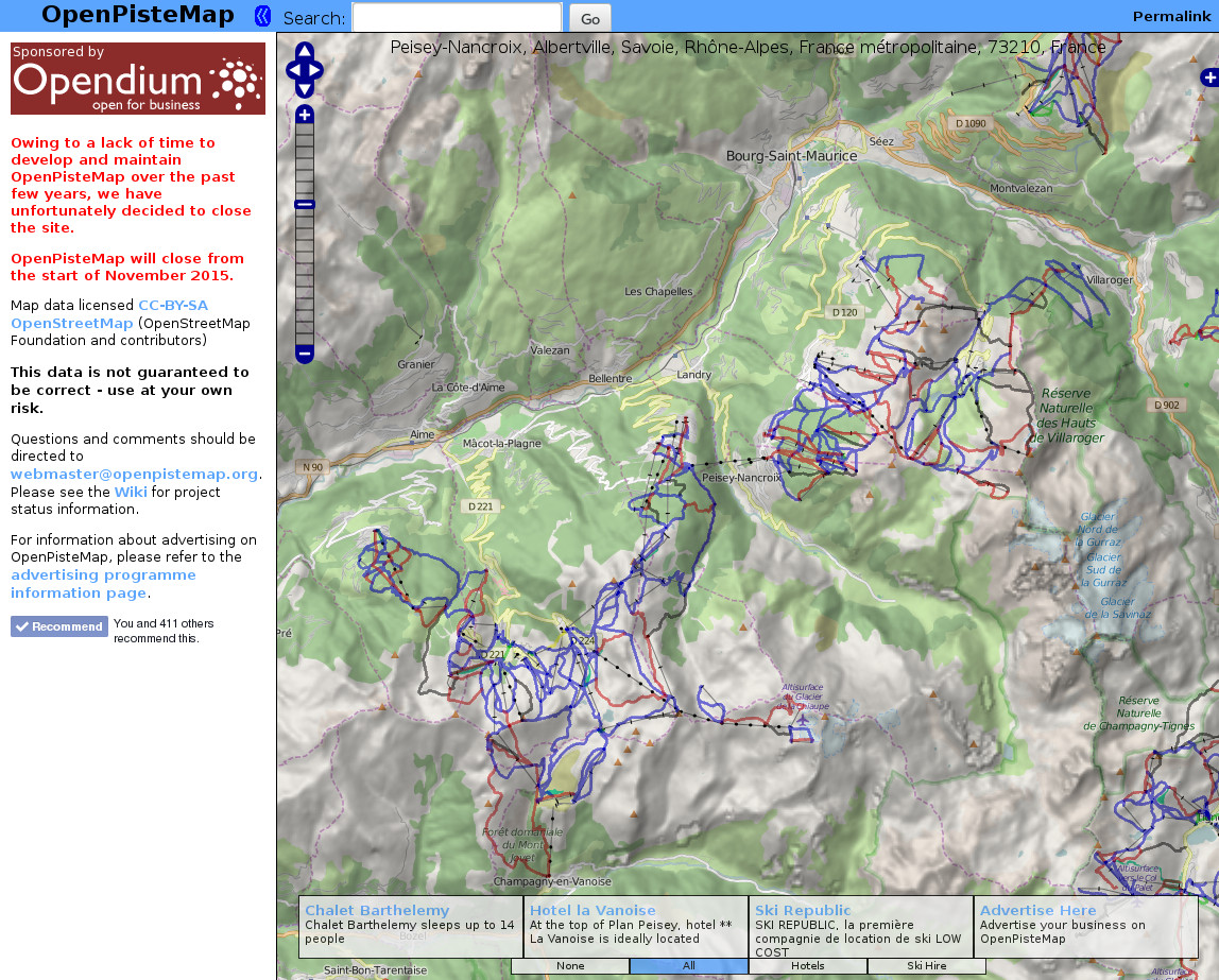
OpenPisteMap was a scrollable map of skiing / snowboarding pistes, rendered from user contributed data from OpenStreetMap's WikiProject Piste Maps project and provided contour line and land relief shading layers generated from NASA's SRTM dataset. OpenPisteMap was developed and maintained by Steve Hill and sponsored by online safety firm Opendium since it opened in March 2008. Unfortunately, due to other commitments, Steve was unable to dedicate the necessary time to maintaining the service and the website was shut down on November 2nd 2015.
The source code for OpenPisteMap is still available through Subversion: http://subversion.nexusuk.org/projects/openpistemap/
Since OpenPisteMap was first conceived, alternative websites offering a similar service have become available. If you are looking for topographical piste maps, try OpenSnowMap.org and OpenSkiMap.org.